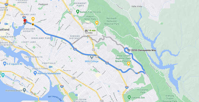
Recently I’ve been looking at the possibility of buying a house in the Bay Area. There are 100 things one wants to consider when looking at a potential future home, and I’ve found that the various real estate listing sites - Zillow, Realtor.com, Redfin, etc. - have some decent tools for looking at things like neighborhood amenities, crime, and even noise levels and sun exposure (so-called “sun score” for solar). Some even have a simple “commute” function which lets you enter an address you frequently travel to and it will then show you your typical travel time on any given listing. And obviously you can always just use Google Maps (or your favorite mapping provider)…
The travel times are one thing I’m particularly interested in and my needs, at least, are not that well served by existing options. Yes, I want to know how long it will take to get to an address from a prospective new one, but since I work from home I don’t actually have 1, specific work address. Even if I did, I also want to know how long it takes to get to multiple other locations, for example if I want to go into San Francisco for a night on the town, or up to Sonoma County to visit my mom. In other words there are multiple destinations that I care about and would want to weigh their various travel times in considering the convenience of a prospective house. Not only that but ideally I would be able to consider the travel times over time (different days of the week, or even different seasons), as well as potentially on multiple - or at least different - modes of transportation. For instance I might want to drive to somewhere in the East Bay, but take public transit into San Francisco to avoid parking issues.
What I envision is an entire site or tool focused on travel times. It would allow you to create “collections” or “sets”, probably focused around a single origin point and multiple destinations (or routes). You’d set things up in a simple Google Maps-like view, only you’d be able to easily create multiple trips, sort of like how Google’s custom map builder works. Trips would have a start and destination, maybe even multiple destinations per trip (consider a typical day of errands, perhaps), and would also include options for mode of transit. It would also allow you to optionally set time windows in which these trip times would be monitored.
Once setup, you would enable monitoring, and it would then record actual travel times for all these routes throughout the day which you could then step through in some kind of timeline-type view later, as well as potentially graph it, etc. Google maps of course will predict future travel times for you based on some averages, which is helpful. The problem is we don’t know what their averages are based on, and I don’t like relying on data from opaque systems. Although my tool might be collecting and averaging the same data, I would know what time ranges it’s coming from, and have the ability to adjust it. Ideally the tool would even be able to constantly monitor Google Maps traffic and travel times and be able to immediately provide you data for any given recent period of your choice, though I imagine this might be difficult if not impossible (I’m not sure what the GMaps API allows).
The other critical feature, of course, would be the ability to compare different “sets” or “collections”, i.e. different house locations. Doing so with graphs could be a really great way to quickly get an idea of how convenient one location is vs. another in terms of the places you’d like to travel to. So who wants to build it? 
